 Google will improve Google Maps.
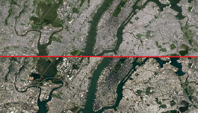
Google will improve Google Earth and Google Maps, which began to lose popularity. So, the image of the Earth will become very clear.
Google aim to bring the location of network users that stopped using Google Earth and Google Maps. Most people use plain old maps for needs of navigation.
So, Google will use images taken from Landsat 8, which was launched in 2013 under a joint program of NASA and USGS. It is expected that new images will be more detailed and have better color transmission and frequency extension.
Also Google States that it will use new methods of processing to get “the latest global mosaic today”. As reported by us earlier, there was a list of classified Google Earth territories, which are known relatively little information.